Frajka-Williams, E.
abstract: README for MOCproxy_for_figshare_v1.0.mat
====================================
version 1.0, available Jun 2015 - http://eleanorfrajka/moc-from-space/
Description
Datafile created April 2015 by Eleanor Frajka-Williams.
Associated publication detailing the method of creation is:
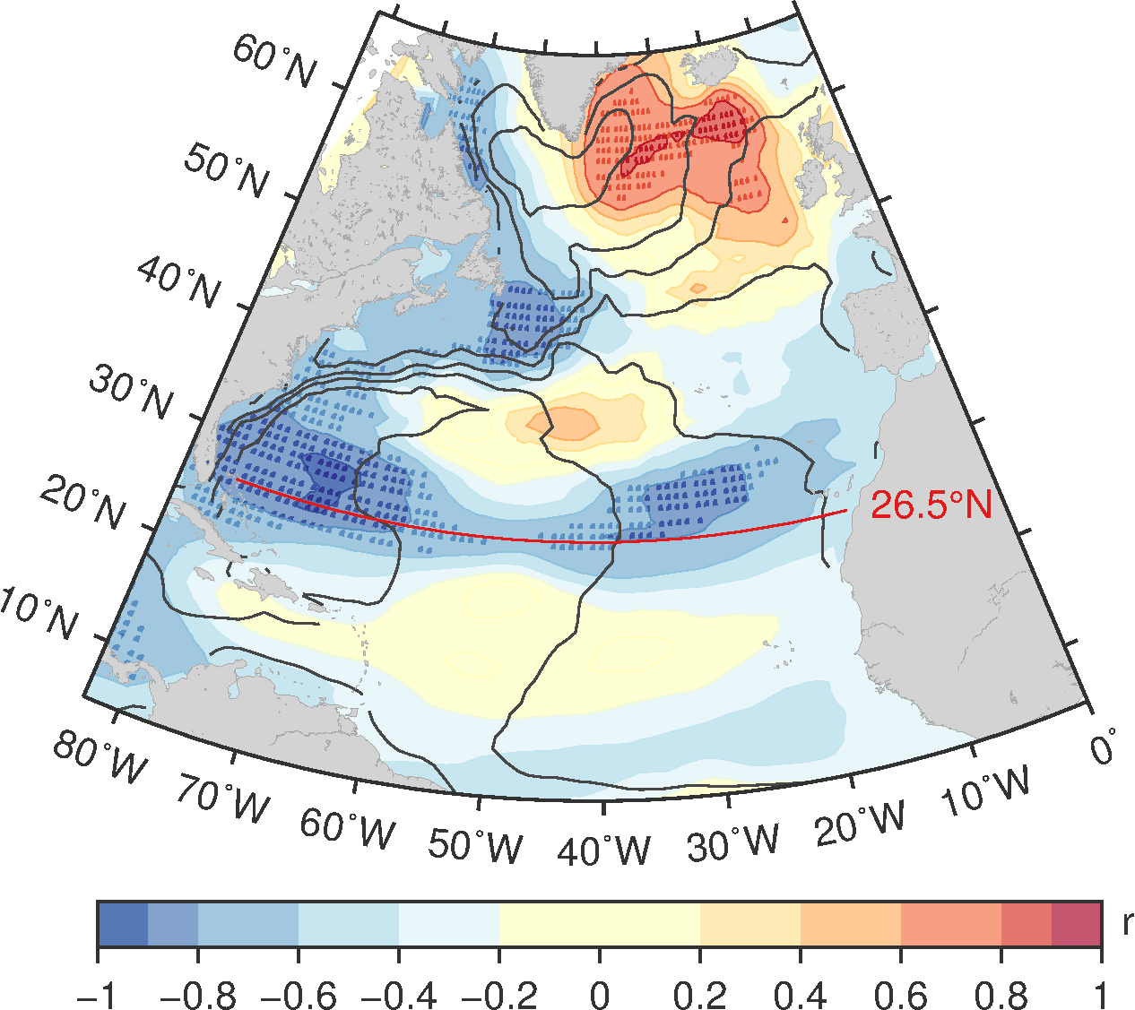
Frajka-Williams, E. (2015), Estimating the Atlantic overturning at 26°N using satellite altimetry and cable measurements. Geophys. Res. Lett., 42, 3458–3464. doi: 10.1002/2015GL063220.
PDF of article available _open access_ (http://dx.doi.org/10.1002/2015GL063220)
Please cite above article when using this dataset.
@article{FrajkaWilliams-mocaltimetry-2015,
  author = {Frajka-Williams, E.},
  title = {Sea surface height-based proxy for the MOC, 1993-2014},
  version = {1.0},
  note = {[Online; accessed YYYY-MM-DD]},
  journal = {figshare},
  doi = {10.6084/m9.figshare.1463480},
  year = {2015},
  url = {http://figshare.com/s/e3e68d16294f11e5a89706ec4b8d1f61}
}